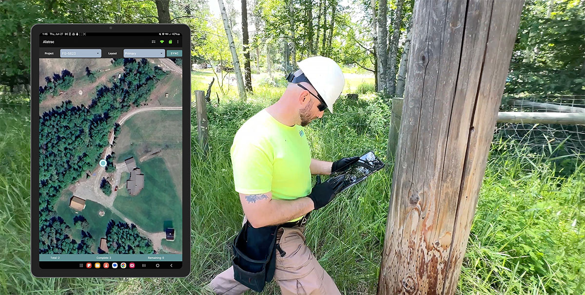
Reduce Risk and Get GIS and AI Driven Data Accuracy with Alatrac
Performing inspections and collecting critical data over a wide geographical area is complicated – and if you don’t do it well, bad data can be very costly.
Alatrac uses GIS mapping and AI data analysis technology to simplify the process, and empowers you to validate your data and ensure accuracy.
No matter what data you’re collecting or where you’re collecting it, reduce risk by using Alatrac.

